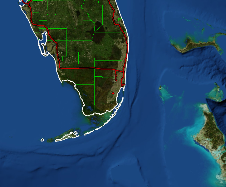
GR programs automatically download and display high-resolution background imagery from public WMS servers. There are three sources for the background imagery: BMNG, Landsat, and NAIP.
The Blue Marble Next Generation (BMNG) is high quality, 500 meter resolution color imagery with global coverage. It's downloaded from http://wms.jpl.nasa.gov as 480x480 pixel tiles and is shown when the displayed resolution is greater than 500 meters/pixel.
The Landsat is medium quality, 30 meter resolution color imagery covering -180° to 0° longitude and -2° to 82° latitude. It is downloaded from http://wms.jpl.nasa.gov as 512x512 tiles and shown when the displayed resolution is greater than 100 meters/pixel. While the resolution of the Landsat imagery is excellent, the color quality varies widely across the nation.
The USDA's National Agriculture Imagery Program (NAIP) is high quality, 1 meter resolution color imagery covering -125° to 66° longitude and 24° to 50° latitude. It is downloaded from http://raster.nationalmap.gov as 512x512 pixel tiles and is shown when the display resolution is less than 100 meters/pixel.
The NAIP imagery only covers the land areas of the CONUS and has an irregular border over shorelines. Here's an example of the GA coast:
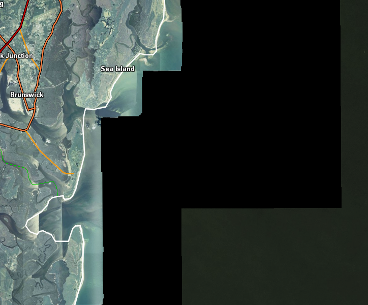
Note the valid NAIP land imagery on the left, a blacked out area in the center, and a dark greenish area on the right. The blacked out area is where there is no valid NAIP imagery from their server. The GR programs detect that area and change it to black (the NAIP WMS server returns solid white). The dark greenish area on the right is where the Landsat imagery takes over.